Slam Lidar FJD Trion P1 Spesifikasi Teknis:
Wherever you go, the P1 can capture what you see. Map the environment with intricate details inside and outside, from ornate architecture to hidden infrastructure, from forensic evidence to urban vegetation analysis. Powerful SLAM technology enables the P1 to work in direct sunlight or even at night, in locations that may be inaccessible with traditional methods.
Lihat Product Serupa : Product Geoinstrument
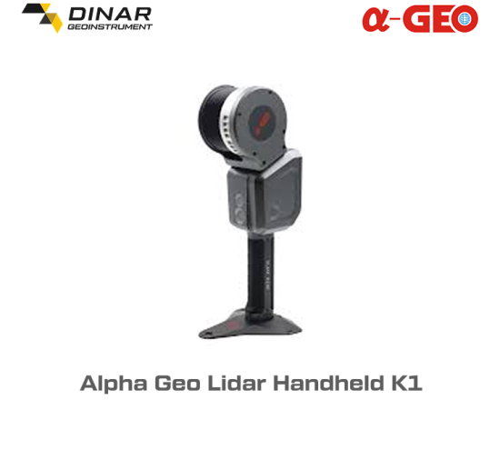
Slam Lidar FJD Trion P1 – Pick up the FJD Trion P1 whenever you want to take a closer look at your world. Weighing in at only 1 kg or slightly over 2 lbs, the P1 fits in a messenger bag and can work all day with easy battery swaps, recreating your environment in minutes.
Key Features:
- High-Precision 3D Mapping: Capture detailed point cloud data with unparalleled accuracy for construction, surveying, and industrial applications.
- Advanced SLAM Technology: Provides real-time mapping and navigation in complex environments, both indoors and outdoors.
- Versatile Mounting Options: Suitable for handheld, vehicle-mounted, or drone-based operations.
- Long-Range and Wide FOV: Enables scanning of extensive areas efficiently without compromising accuracy.
- User-Friendly Interface: Intuitive software for data visualization and processing, making it accessible even for non-expert users.
Applications:
- Construction site monitoring
- Infrastructure inspection
- Topographic surveys
- Autonomous vehicle navigation
- Asset mapping for industrial facilities
The FJD Trion P1 SLAM LiDAR redefines spatial data acquisition, making it an essential tool for professionals seeking efficient and accurate mapping solutions.